Presentations & Workshops
My first career was as an academic and I'd been a teaching assistant, tutor, and grader prior to becoming a lecturer, then professor. I enjoy sharing what I know, consider being able to explain something an order of magnitude harder than simply being able to do that thing, and it's rare that I don't grow as a result of interacting with an audience. Over the years I've presented on subjects as varied as historical photographic and printing processes, cartography, and digital literacy at the dawn of the public Internet.
Here's a list of presentations and workshops with links to abstracts (), decks (), and videorecordings () when available.
- Eight Stories High, Comically Lo-Res, Visible for Twenty Miles: Spiraling Maps Atop San Francisco's Salesforce Tower
-
-
Maptime Amsterdam (19 Sep 2024)
TomTom HQ, De Ruijterkade 154
Amsterdam, NL -
EuroCarto 2024 (9 Sep 2024)
TU Wien
Vienna, AT -
Annual International Conference, Royal Geographical Society (with the Institute of British Geographers) (29 Aug 2024)
London, UK -
State of the Map Europe (19 Jul 2024)
Łódź, PL -
State of the Map US (7 Jun 2024)
Salt Lake City, UT -
UC Berkeley GIS & Mapping Community of Practice and the Center for New Music and Associated Technologies (13 Mar 2024)
Berkeley, CA -
Thursday afternoon lecture (29 Feb 2024)
David Rumsey Map Center
Stanford, CA -
Maptime SF/Oakland (14 Feb 2024)
GreenInfo Network
Oakland, CA
-
Maptime Amsterdam (19 Sep 2024)
- A Synesthete's Atlas: Performing Cartography in Real Time
-
-
American Geographical Society Library Lecture Series (13 Apr 2023)
University of Wisconsin-Milwaukee
Milwaukee, WI -
Annual Meeting, American Association of Geographers Annual Meeting (26 Mar 2023)
Colorado Convention Center
Denver, CO -
Spatial Seminar Series (9 Mar 2023)
Geospatial Centroid, Morgan Library, Colorado State University
Fort Collins, CO -
Annual Meeting, North American Cartographic Information Society (21 Oct 2022)
Renaissance Minneapolis Hotel (The Depot)
Minneapolis, MN
-
American Geographical Society Library Lecture Series (13 Apr 2023)
- If Maps: Intersections between Cartography and Experimental Film
-
-
Annual Meeting, North American Cartographic Information Society (18 Oct 2019)
Hotel Murano
Tacoma, WA -
Lightning Talk (24 Sep 2019)
Mapbox
San Francisco, CA -
Sensory Moving Image Archives – Visualization, Exploration and Reuse of Moving Image Data (26 Feb 2019)
Library Singel, University of Amsterdam
Amsterdam, NL -
Kroch Library, Cornell University (12 Nov 2018)
Ithaca, NY
-
Annual Meeting, North American Cartographic Information Society (18 Oct 2019)
- Bookending the Lincoln Highway: The Monumental Sculpture of James Earle Fraser
- Let’s Talk About Your Geostack
-
This aggressively ambitious workshop was given at numerous locations around the country in 2014 and 2015. In retrospect, the kindest thing to say is that it was Quixotic to believe that, on a voluntary basis, it would be possible to track changes in open source mapping technology across three different operating systems. It was enthusiastically received and I met many remarkable people over the course of delivering these workshops.
-
Association of American Geographers Annual Meeting (24 Apr 2015)
Chicago, IL -
FOSS4G North America (9 Mar 2015)
Burlingame, CA -
Avid Geo/Maptime Boston (18 Oct 2014)
Harvard University
Cambridge, MA -
Maptime NYC (14 Oct 2014)
Mapzen
New York City, NY -
Annual Meeting, North American Cartographic Information Society (11 Oct 2014)
Pittsburgh, PA -
FOSS4G (8 Sep 2014)
Portland, OR -
MaptimeSF (20 Nov 2013)
Stamen Design
San Francisco, CA -
MaptimeSF (13 Nov 2013)
Stamen Design
San Francisco, CA
-
Association of American Geographers Annual Meeting (24 Apr 2015)
- Which Way Is Inbound? A Journey with SF Muni and Directional Statistics
- Deprecated, Ported, Forked: On the Fates of Programming Languages
- The Zeon Files Mapped: Sign, Sign, Everywhere a Sign
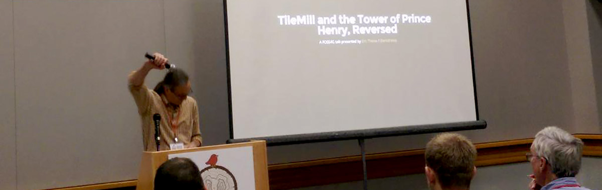
- TileMill and the Tower of Prince Henry, Reversed
- Lessons Learned from Experimental Film
- Rrose: A Leaflet Plugin for Edge Cases
- Rrose is designed to be used with Leaflet, an open-source JavaScript library for interactive maps. It does one thing–alters the default popup behavior in a way that makes sense for some desktop-oriented applications–and it does it well.
- Bringing Rails down to Earth: Building Geospatial Applications with RGeo
- Bringing Rails down to Earth: PostGIS and RGeo
-
-
San Francisco PostgreSQL Users Group (29 Mar 2012)
San Francisco, CA
-
San Francisco PostgreSQL Users Group (29 Mar 2012)